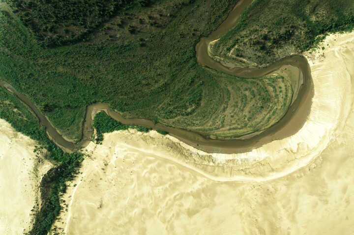
Optical remote sensing data
Remote Sensing is the acquisition of information about an object or phenomenon without making physical contact with the object and thus in contrast to on-site observation, especially the Earth. Remote sensing is used in numerous fields, including geography, land surveying, and most Earth Science disciplines as well as military, intelligence, commercial, economic, planning, and humanitarian applications.
*** Resources used ***
Remote Sensing. In OLS Ontology Search. Retrieved 10:24, February 24, 2022, from https://www.ebi.ac.uk/ols/ontologies/srao/terms?iri=http://aims.fao.org/aos/agrovoc/c_6498
Optical remote sensing data in Helmholtz Imaging CONNECT:
No application found.
No facility found.
No instrument found.
No lab found.