Ice, Cloud, and land Elevation Satellite 2 (ICESat-2)
Site:
Space
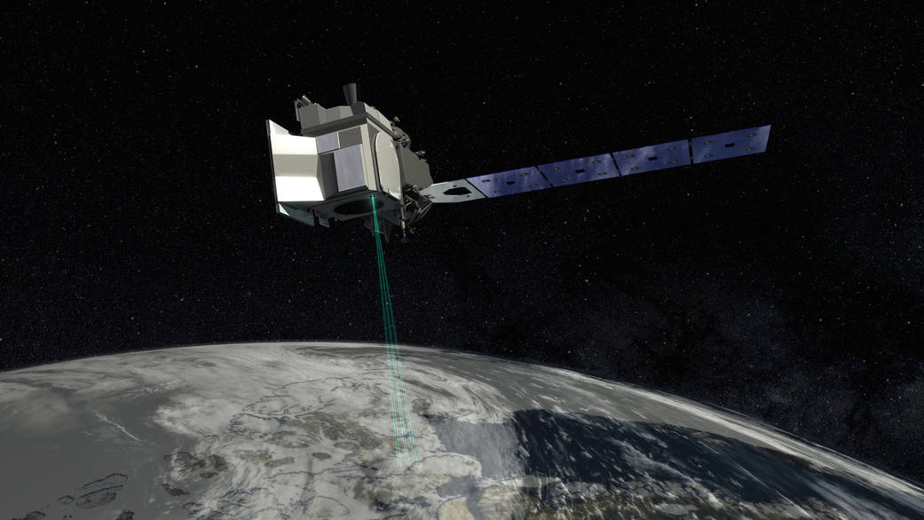
ICESat-2 (Ice, Cloud, and land Elevation Satellite 2), part of NASA's Earth Observing System, is a satellite mission for measuring ice sheet elevation and sea ice thickness, as well as land topography, vegetation characteristics, and clouds.
For more see:
Wikipedia on ICESAT-2

Ice, Cloud, and land Elevation Satellite 2 in Helmholtz Imaging CONNECT:
No facility found.
No lab found.
No modality found.
No solution found.